
Tools for Responsible Decisions, Now and in the Future
Responsible coastal resilience planning requires local communities to know the vulnerabilities of roads and other infrastructure in or near tidal environments. With roughly 4-9 feet of sea level rise projected by 2100, it's important to understand how today's road investment decisions can influence the well-being and fiscal burden of communities and ecological health during the lifetime of those structures. Maine Coastal Program and partners have developed several mapping tools meant to help communities with this kind of decision-making.
Select a map below:
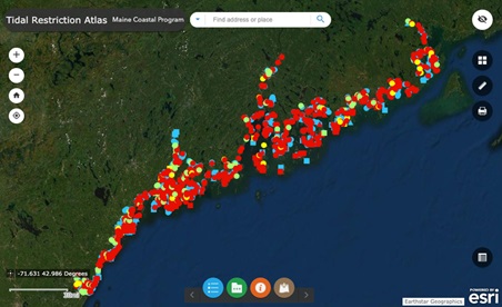
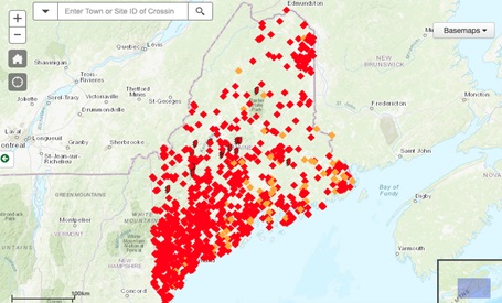
The Stream Habitat Viewer shows locations and photos of road crossings and dams statewide, their degree of fish passage impairment, and fish habitats. Users with interest in tidal crossings should also consult the Tidal Restriction Atlas.