Resource Monitoring:
The Maine DMR has routinely conducted fishery independent scallop surveys since the early 2000’s to provide information for the sustainable management of this resource and allow observations of long-term patterns. In 2016 these survey methods were modified to allow improved comparison between years. The major update at this time was to change the design to a stratified random grid survey. This survey grid is made up of 500-meter boxes covering the Maine coastal waters between 5- and 80-meters depth. Each of these grids have been identified as either as high scallop density areas, low scallop density areas, or areas which either can’t be sampled or likely have no scallops. The density strata were determined by combining data from past surveys, fleet reported landings data, and interviews with fleet members. Improving our survey grid is an ongoing process, those interested in helping should reach out to carlton.j.huntsberger@maine.gov. Our current survey is designed for the following survey goals:
- Estimate density and describe the scallop populations for the upcoming scallop season.
- Monitor historic scallop beds or potential scallop habitat with low fishing pressure.
- Evaluate density and size structure of scallops in priority areas on an annual basis.
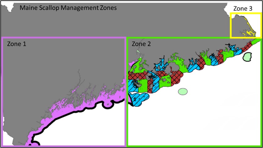
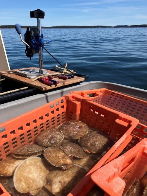
The current scallop survey is conducted aboard contacted commercial vessels. The surveys occur each spring in Zone 2, sampling therotational area scheduled to be open in the coming season, and in the fall for zone 3. Sites for each survey are randomly selected from the grid of all possible survey stations.
Each station is sampled following the same methods used since 2016 with our standardized 7-foot survey drag, rigged with 2-inch rings and a 5-inch twine top. This survey dredge and our tow specifications are designed to catch representative samples of the entire size range of scallops older than 2 years, not to maximize the catch of harvestable scallops. At each station, the drag is towed for a target time of 2.5 minutes covering approximately 300m (0.16 nautical miles).
Scallop Tagging:
To improve our understanding of local growth and potential movement along the Maine coast the department has tagged and released scallops in Cobscook Bay, Penobscot Bay, and Jericho Bay.
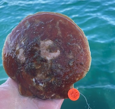
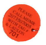
This tagging effort can only be successful if the shells, tag, capture location and date are returned to the department. If you find a tagged scallop please call the number on the tag or 207-350-6004 then someone from the scallop program will come collect the tag, shell & data and you will get a free scallop science hat and be entered into a cash raffle.
Scallop Quality/Diseases:
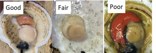
Tracking changes to scallop quality is important to understand the general health of the Maine scallop populations. The scallop survey grades a sample of scallops from each area of the survey since 2023. Poor condition scallops occur naturally, often related to the additional stress of spawning, but can be a result of multiple factors. Low levels of poor-quality animals are not a concern but if there are areas of many scallops in poor condition it is important to notify the department.
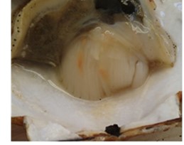
Other abnormalities in the scallop meats can be indicators of disease, for example when infected by bacteria the scallop inflammatory system creates these orange bubbles fighting the bacteria.
 NGOM Scallop Survey
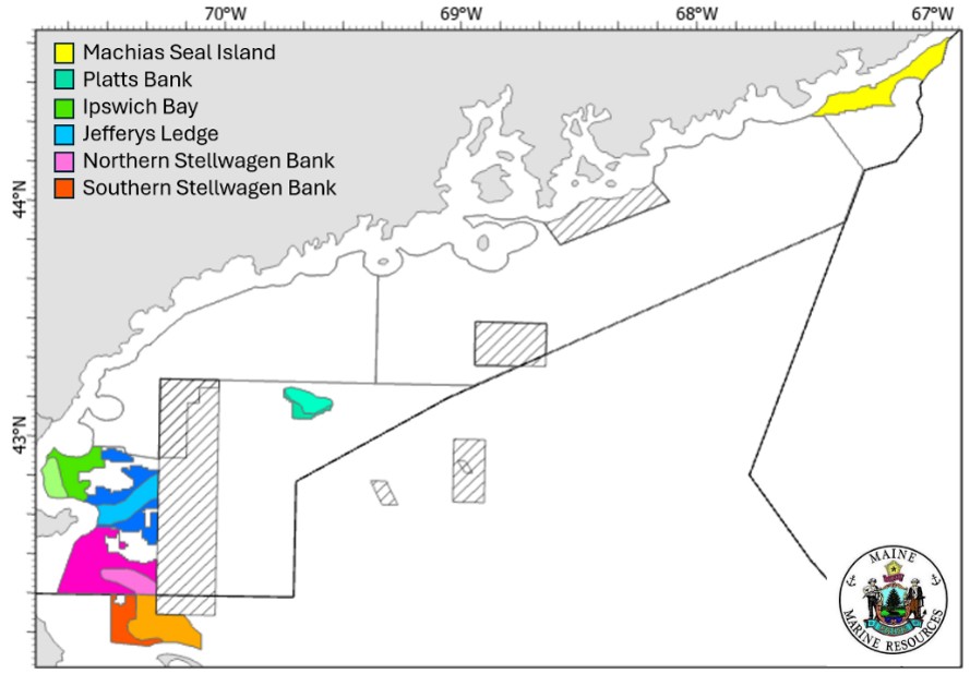 The Maine DMR is a survey partner for the federal scallop resource in the Gulf of Maine with support of funding from the scallop
research set aside program. This survey covers the known scallop beds within the GOM, excluding habitat management areas that are closed to mobile scallop gear. The goal of this survey is to provide estimates of total and exploitable scallop biomass across the NGOM management area and Southern Stellwagen Bank to be utilized in season setting decisions beginning in August each year. These estimates will be calculated with a dredge-based scallop survey which will produce annual density estimates, size frequencies, and shell height meat-weight relationships by area.
The footprint of our survey is designed to sample known scallop beds to allow more appropriate management of the Northern Gulf of Maine scallop fishery the ME DMR is seeking interested federal scallop fleet members to conduct exploratory fishing utilizing RSA compensation pounds in particular portions of this area to improve the general public understanding of the scallop resource in the NGOM.
Interested captains can apply using this form by October 15th 2026