DACF Home → Bureaus & Programs → Bureau of Parks and Lands → Water Activities→ AWW River Conditions and Alerts
Allagash Wilderness Waterway (AWW) River Conditions & Alerts
Text AWW to 888-514-7527 to subscribe to the AWW River Condtions & Alerts
AWW Artist Residency
The 2026 Artist Residency application will opened February 2, 2025. Read all the details and apply online at the Artist Residency webpage. The application closes on March 2.Allagash Explorer
- Allagash Explorer - A pocket-size Take-Along Companion for Maine’s Wilderness Waterway.
Allagash Overview
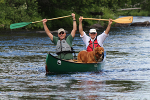
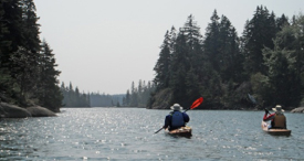
- The 92-mile Allagash Wilderness Waterway in northern Maine is one of America's preeminent canoe trips.
- Established by the Maine State Legislature in 1966 and designated by the U.S. Department of the Interior in 1970 as the first state-administered component of the National Wild and Scenic River System.
Selected Highlights
- Henry David Thoreau visited the Allagash region in 1857 guided by two natives of the Penobscot Tribe, Joseph Aitteon and Joe Polis. They made camp on Pillsbury Island in Eagle Lake near what is now the Thoreau campsite.
- The Waterway's Native American heritage is found in the names of its places, such as Umsaskis Lake and Musquacook Stream.
- AWW's logging history is tied to the river and locomotives. Remnants of the logging era can still be found by visitors.
Paddling the Allagash - Be Prepared
- Call (207) 941-4014 for more information.
- To get Waterway Alerts, text AWW to 888-514-7527.
- Northward flow of the AWW often surprises first-time visitors.
- Whitewater on the AWW - the most well know section is Chase Rapids, a class II stretch just downstream of Churchill Dam.
- Communication contingency plans are a must as cell phone coverage is spotty and can go down unexpectedly.
- Self-rescue preparedness is a must. Carry a first aid kit.
- Plan your trip carefully and add extra days for unexpected weather when you may need to stay off the water. Get an AWW information packet by calling (207) 941-4014.
- Launch sites:
- Are often remote and require travel over a network of private logging roads.
- Trailerable and hand-carry boat launches are highly variable. Use the online sortable boat launch listing and the AWW Information Packet to plan your trip.