Home → Fish & Wildlife → Wildlife → Beginning with Habitat → Maps → Online Map Database
Online Map Database
Search Maps by Town
A | B | C | D | E | F | G | H | I | J | K | L | M | N | O | P | Q | R | S | T | U | V | W | X | Y | Z
Welcome to Beginning with Habitat's online library of maps and natural resource inventories.
Is your town involved in comprehensive planning? Find thematic maps to support your community planning by clicking the "Search Maps by Town" links above. Our online map database includes small maps (11x17 inch), large maps (36x36 inch), and a natural resource inventory, all in PDF format that can make printing easier. Town maps are updated upon request.
Review "Municipality Mapping Talking Points" for details about the town maps and to see descriptions of features displayed on the maps.
To support community planning, Beginning with Habitat can ship large, printed maps upon request. Our team is also available for in-person or remote presentations with potential topics including high-value wildlife habitat, habitat management guidance, climate resilience, and conservation strategies.
Request a Presentation + Printed Maps
At any time, you can also access the Beginning with Habitat Map Viewer, a dynamic and customizable compilation of the data that you will find in the town maps.
Map 1: Water Resources and Shoreland Habitats
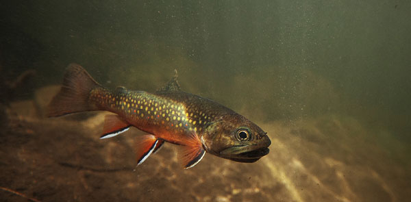
This map depicts aquatic features, including state minimum shoreland zones, wetlands, fisheries habitats, shellfish growing areas, and stream connectivity. This map can be useful for understanding your town's aquatic resources and planning for hazards such as flooding.

Map 2: High Value Plant and Animal Habitats
These maps show known locations of rare, threatened, endangered, or declining plant and animal species, significant habitats, and rare and exemplary natural communities. These maps greatly improve the knowledge of what important habitats exist in a town and identify potential conservation priorities.
Map 3: Habitat Connectivity: Conserved Lands, Undeveloped Habitat Blocks and Habitat Connectors
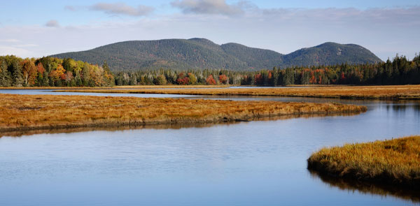
These maps highlight large areas of undeveloped land and modeled habitat connections, plus boundaries of existing conserved lands. This landscape-level overview of a town's natural areas provides an intuitive method for assessing conservation gaps and development priorities for the town.
Data frequently changes. We recommend updating your town maps and natural resource inventory every year by filling out a new request to make sure you have the most recent data for informed decision making.