DACF Home → Bureaus & Programs → Maine Geological Survey → MGS Collect
MGS Collect
MGS Collect is an initiative of the Maine Geological Survey to collect digital information directly from our partners. Filling out paper forms and mailing them for data entry by MGS staff or emailing spreadsheets for upload into MGS systems are inefficient ways of managing information in today's web-connected world.
MGS has developed a low-cost, secure web database that allows us to build forms for data collection that can be used anywhere on any device. Unlimited numbers of user accounts can be created for each project and permissions for data entry and review can be easily assigned by MGS staff.
The list of current projects below will take you to the sign on screen. If you wish to request access to a project, use the Sign Up button to create an account. Make sure to select the correct Group (Project) on the form. MGS staff will review your account request for approval.
If you have any questions, please contact Christian Halsted.
Water Well Database Submission
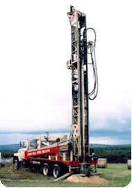 The Water Well Information Law, passed in 1987, requires the Maine Geological Survey to collect information on new water wells in Maine. This information is essential to any effort aimed at understanding Maine's ground water resources. In addition, the information is useful to communities considering new water supplies or in their planning efforts, to developers and businesses, to consultants investigating water supply or quality issues, to drillers, and to agricultural irrigators. Current water well information can be viewed in a web map and downloaded for any purpose.
The Water Well Database application and the help documentation provide instructions for well drillers to sign up for an account and submit well records to MGS.
Southern Maine Volunteer Beach Profile Monitoring Program
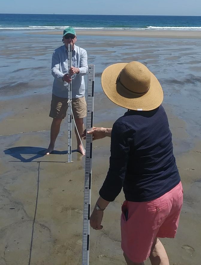 The Southern Maine Volunteer Beach Profile Monitoring Program collects beach sand erosion and accretion data using a simple profile measurement method every month. Dedicated volunteers perform the beach measurements and submit the data to the Maine Geological Survey for analysis. This project is a partnership with University of Maine Cooperative Extension - Maine Sea Grant.
The Southern Maine Volunteer Beach Profile Monitoring Program provides instructions for volunteers, electronic datasheets for profile measurement submission, profile graphing, and access to all the submitted, approved data for monitored beaches. Program contact information is also included.
Last updated on November 30, 2022