DACF Home → Bureaus & Programs → Maine Natural Areas Program → Ecological Reserves → Nahmakanta
(Printer Friendly Version-49 KB pdf) (Download a free copy of Adobe Acrobat Reader)
Nahmakanta
Rainbow Twp.
Vital Statistics
- Size: 11,082 acres
- Regulated: 1,271 acres
- Non-Regulated: 9,811 acres
- Upland: 9,341 acres
- Forested Wetland (NWI): 51 acres
- Non-Forested Wetland: 196 acres
- Open Water: 301 acres
- Roads: unimproved-5 miles
- Roads: trails-2 miles
- Roads: total-7 miles
- Biophysical Region: Central Mountains
- BPL Region: North
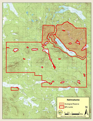

(Download a Printer Friendly Version-88 KB pdf-of this map.)
Exemplary Natural Communities
| Scientific Name | Common Name | State Rank | Global Rank |
|---|---|---|---|
| Beech - Birch - Maple Forest | Northern Hardwoods Forest | S4 | G3G5 |
| Aspen - Birch Woodland/Forest Complex | Early Successional Forest | S5 | G5 |
| Cedar - Spruce Seepage Forest | Evergreen Seepage Forest | S4 | GNR |
| Spruce - Northern Hardwoods Forest | Spruce - Northern Hardwoods Forest | S4 | GNR |
Rare Plants
There are no documented occurrences of rare plants within this Ecoreserve.
Rare Animals
There are no documented occurrences of rare animals within this Ecoreserve. For more information on rare animals in Maine, visit the Maine Department of Inland Fisheries and Wildlife.
Description
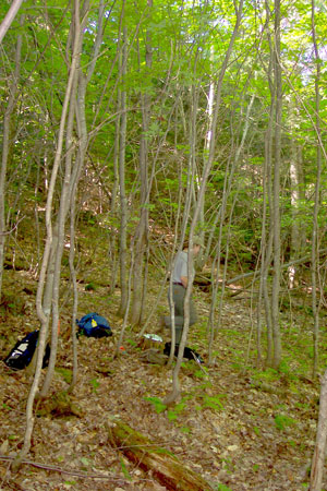
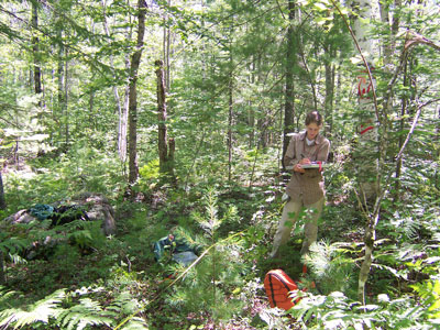
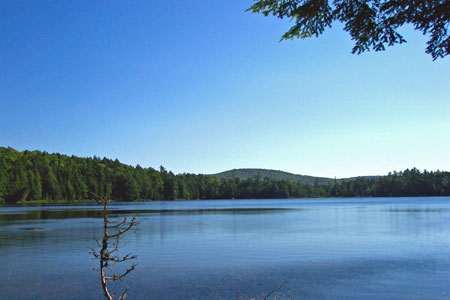
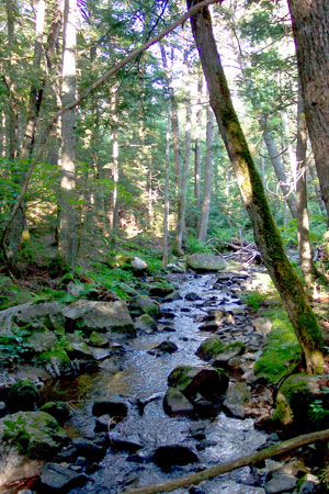
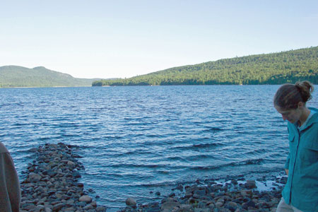
At just over 11,000 acres, Nahmakanta is the largest of Maine's ecological reserves. It consists of two sections straddling the Appalachian Trail. Nearly 90% of the reserve was classified as non-regulated, due to prior BPL designation as "back-country no-cut." East of Nahmakanta Lake, the reserve includes the watersheds of the 5th through 8th Debsconeag Lakes. Most of the uplands within the reserve show some evidence of past harvesting or fire, but some remote stands support trees over 300 years old, including a 320 year old northern white cedar and a 397 year old red spruce.
Only one of the exemplary natural communities listed above lies entirely within the ecological reserve. It is a large post-burn red pine woodland near Gould Brook. The other five exemplary natural communities are partly within lands protected by the National Park Service as part of the Appalachian Trail. For example, Nahmakanta Stream, classified as an exemplary mid-reach stream, is bordered by the reserve to the northeast and the AT corridor to the southwest.
Resources
- Lortie, J.P. Royte, J.L. Rooney, S.C. and J. McMahon. 1992. Landscape Analysis and Inventory of the Nahmakanta Management Unit, Bureau of Public Lands, Augusta, Maine. 20 pp. (+ Appendices).