Plans, Maps & Data

In fulfilling its planning and zoning responsibilities the Commission has developed the following plans, maps, and data. Additional materials prepared by the Commission, such as its annual report, are listed on our Reports and Publications web page.
The LUPC Color Zoning Maps web page
Zoning Maps, Plans, and GIS Data
Geo-referenced color maps and digital zoning data. A Web Map is available to look for LUPC zones and Unorganized Territory (UT) parcels
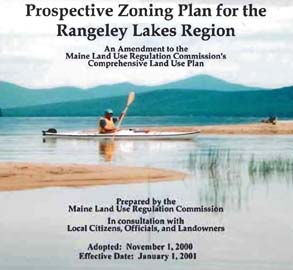
Prospective Zoning Plan for the Rangeley Lakes Region
A plan for ten townships and plantations in the Rangeley Lakes Region
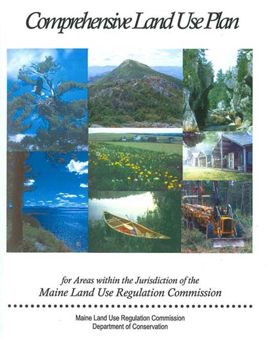
The LUPC Comprehensive Land Use Plan
Comprehensive Land Use Plan
A statutorily required planning document that includes the Commission's vision, goals, and policy objectives for the unorganized and deorganized areas of Maine
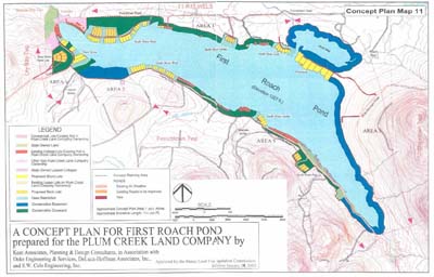
The LUPC P-RP Subdistricts Resource and Concept Plans
P-RP Subdistricts Resource and Concept Plans
Landowner initiated plans and custom zoning for larger tracts of land in single ownership