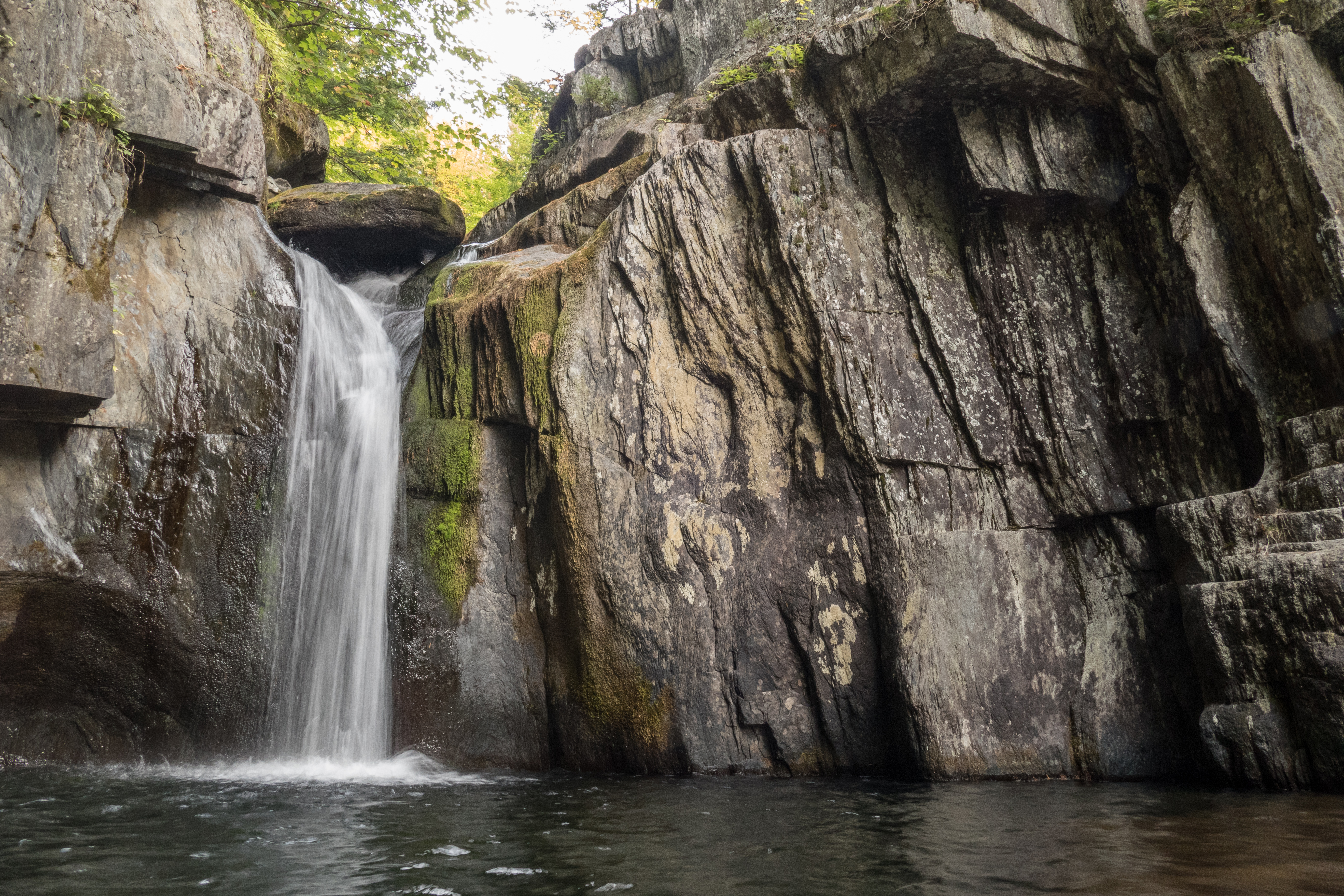
Gulf Hagas
Photo: Wikimedia, Andythrasher
For most of its 36 miles, the West Branch of the Pleasant River flows like many other rivers in Maine’s North Woods. Relatively flat and quiet, it wraps around White Cap Mountain, shrinks to a stream through a chain of ponds popular with anglers, and meanders through the Pleasant River Headwaters Forest.
Then, without warning, this peaceful waterway reveals an entirely different side of itself. This is Gulf Hagas. In less than four miles, the river drops nearly 400 feet through a continuous series of waterfalls, cascades, and rapids. Some of the names loggers gave those waterfalls and rapids – Screw Auger Falls, The Jaws – reflect the intense challenges they faced driving logs through the narrow, twisting slate gorge. Today, whitewater enthusiasts call them Faceplant, Wedge Amok, and Turnstile.
Sometimes called the Grand Canyon of Maine, Gulf Hagas is unlike anywhere else in the state. Over thousands of years, the river carved a narrow slate gorge where sheer walls rise as much as 130 feet and, at one point, squeeze to just eight feet apart.
Designated a National Natural Landmark in 1969, Gulf Hagas became part of the Appalachian Trail corridor, where hikers on the Rim Trail can follow the river’s remarkable transformation. Beyond the final cascades of Lower Falls, the river reaches the old-growth forest called the Hermitage and returns to its peaceful self.
Author: Stephanie Bouchard