Baxter State Park & Mount Katahdin
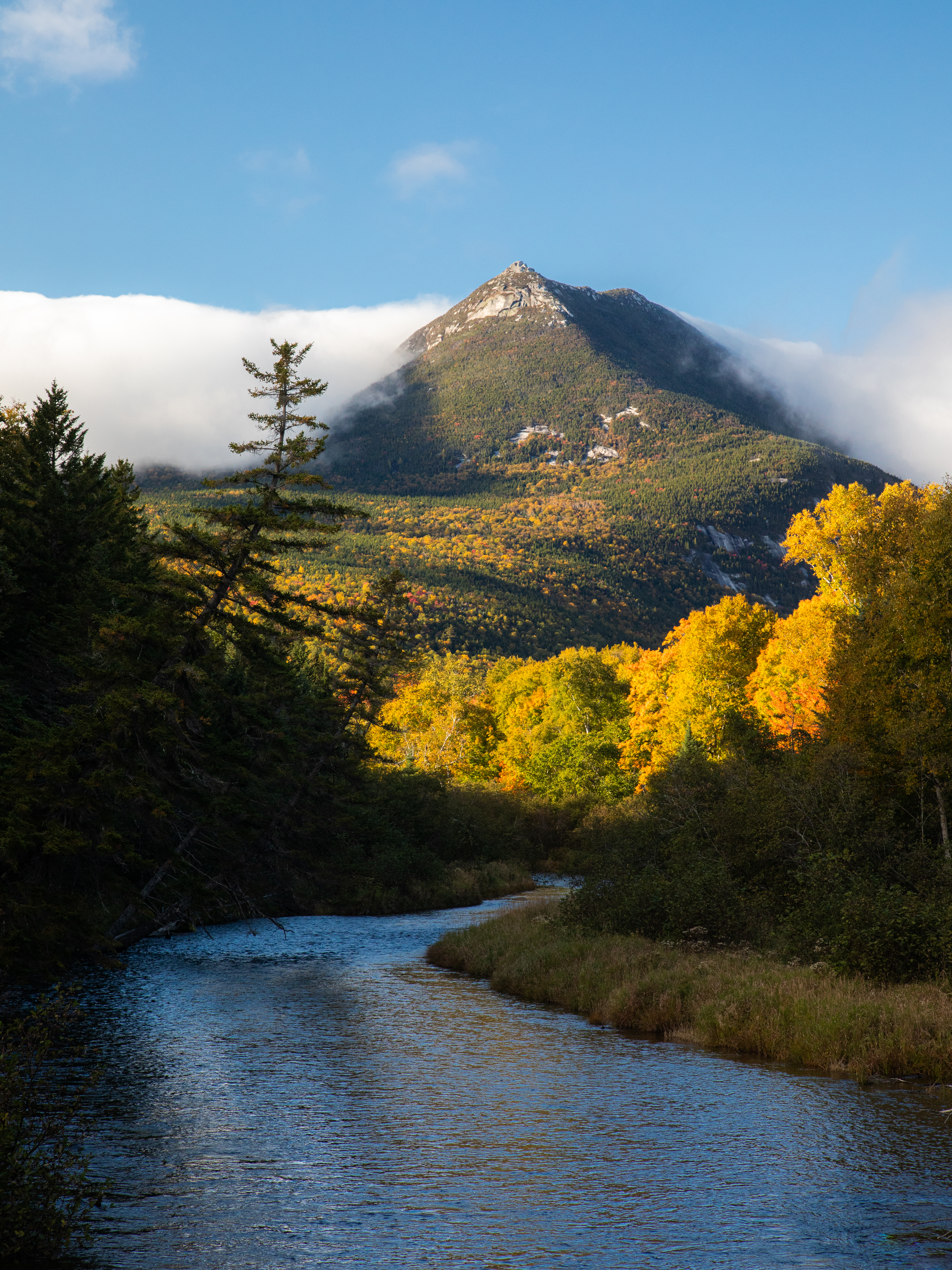
Photo: Jamie Walter
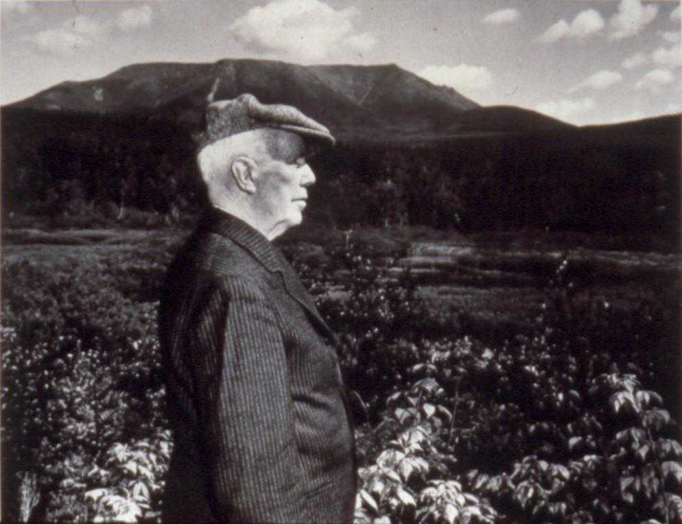
Maine Governor Percival P. Baxter enjoyed fishing and vacationing in the Maine woods, developing a lifelong love of the land and Maine’s wildlife that led to the creation of a park for the people of the State of Maine. In 1931, Baxter personally purchased almost 6,000 acres of land, including Mount Katahdin, Maine’s highest peak, and donated the parcel to the State of Maine with the condition that it be kept forever wild. Over the years, Governor Baxter purchased additional land, ultimately increasing the Park’s total size to 209,644 acres. About 75% of the Park (156,874 acres) is managed as a wildlife sanctuary.
Baxter left a trust of nearly $7 million to ensure that Park managers have sufficient funds to maintain the Park without ever having to compete for Maine taxpayers’ dollars. He also stipulated that the Park’s sole governing authority would be a group of 3 public officials: the Commissioner of Maine Inland Fisheries and Wildlife, the Director of the Maine State Forest Service and the Attorney General, known collectively as the Baxter State Park Authority.
Roughly 60,000 people visit the park in the summer months. The park includes over 40 peaks and ridges besides Katahdin, and features over 215 miles of trails popular with hikers, mountain climbers and naturalists. Thanks to Baxter’s foresight and generosity, this extraordinarily wild and beautiful area of Maine is preserved in perpetuity.
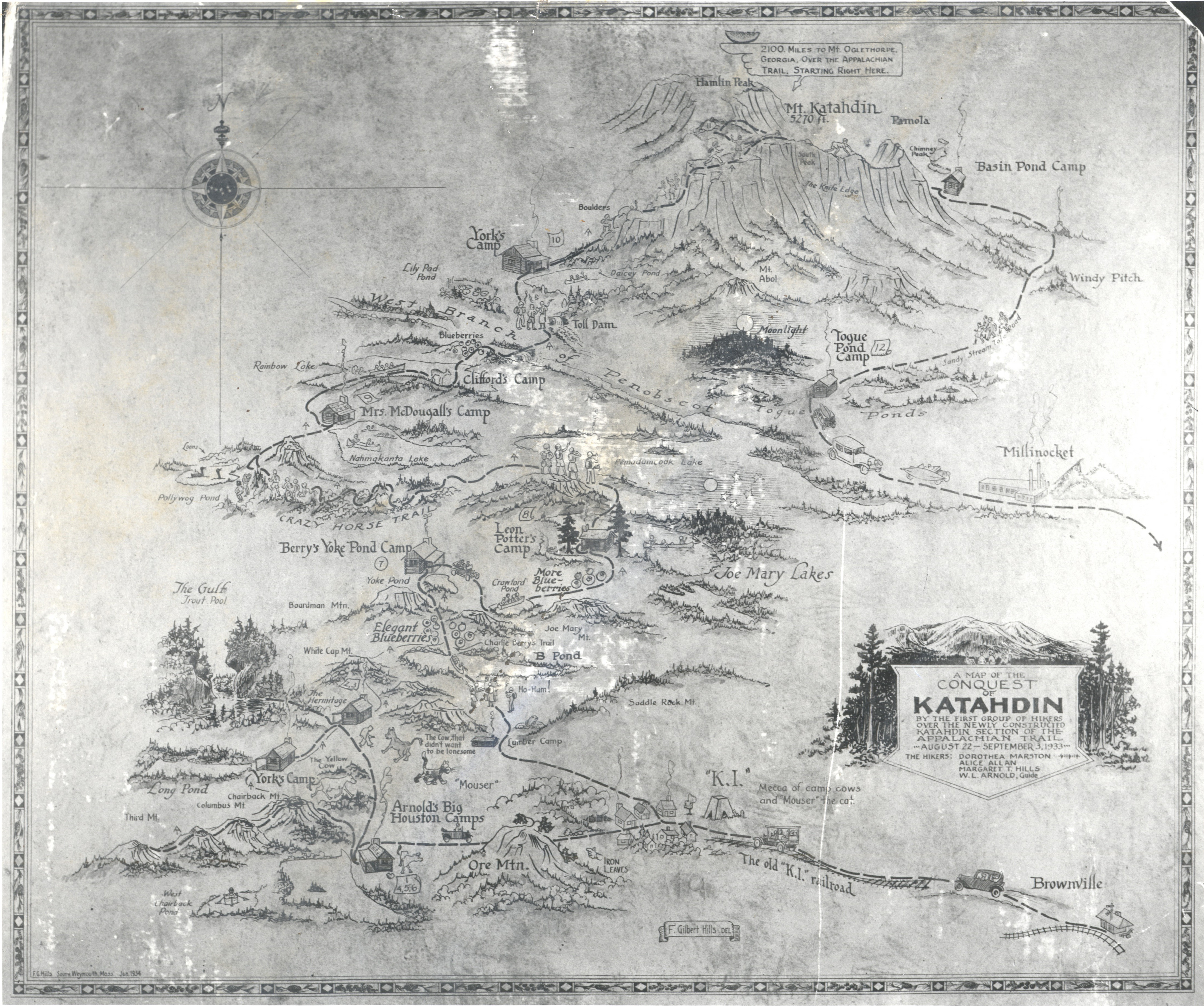
Towering 5,269 feet into the sky, Katahdin is one of the most notable landmarks in the Northeast. As the centerpiece of Baxter State Park and the tallest mountain in Maine, , it attracts thousands of eager hikers each year. As the northern terminus of the Appalachian Trail, Katahdin is widely regarded as one of the most challenging peaks along the A.T.
“Man is born to die, his works are short-lived. Buildings crumble, monuments decay, wealth vanishes. But Katahdin in all its glory, forever shall remain the mountain of the people of Maine.” - Percival Baxter
Katahdin is held sacred by the Maliseet, Micmac, Passamaquoddy, and Penobscot nations, and the geology within and around the mountain is central to oral histories, traditions, and cultural practices for each tribal community. According to the Penobscot Nation, their beliefs emphasize the importance of respecting the entire mountain—not just the summit—viewing it all as sacred land. Acknowledging its incredible height, they named it “Katahdin,” meaning “The Greatest Mountain” in the Penobscot language. Often hunting and fishing in harmony with the seasons, the Penobscot warn against climbing to the summit, believing that an evil spirit named Pamola resides there. Pamola, which translates to “he who curses the mountain,” is often depicted as a gigantic bird-like creature with the head of a moose and is associated with snow, cold weather, and storms.
In 1846, author Henry David Thoreau attempted to summit Katahdin. Although he never actually reached the top, he helped popularize the mountain by documenting his experience in a chapter of his work, The Maine Woods. In 1967 Mount Katahdin was designated a National Natural Landmark by the National Park Service.