Skip Maine state header navigation
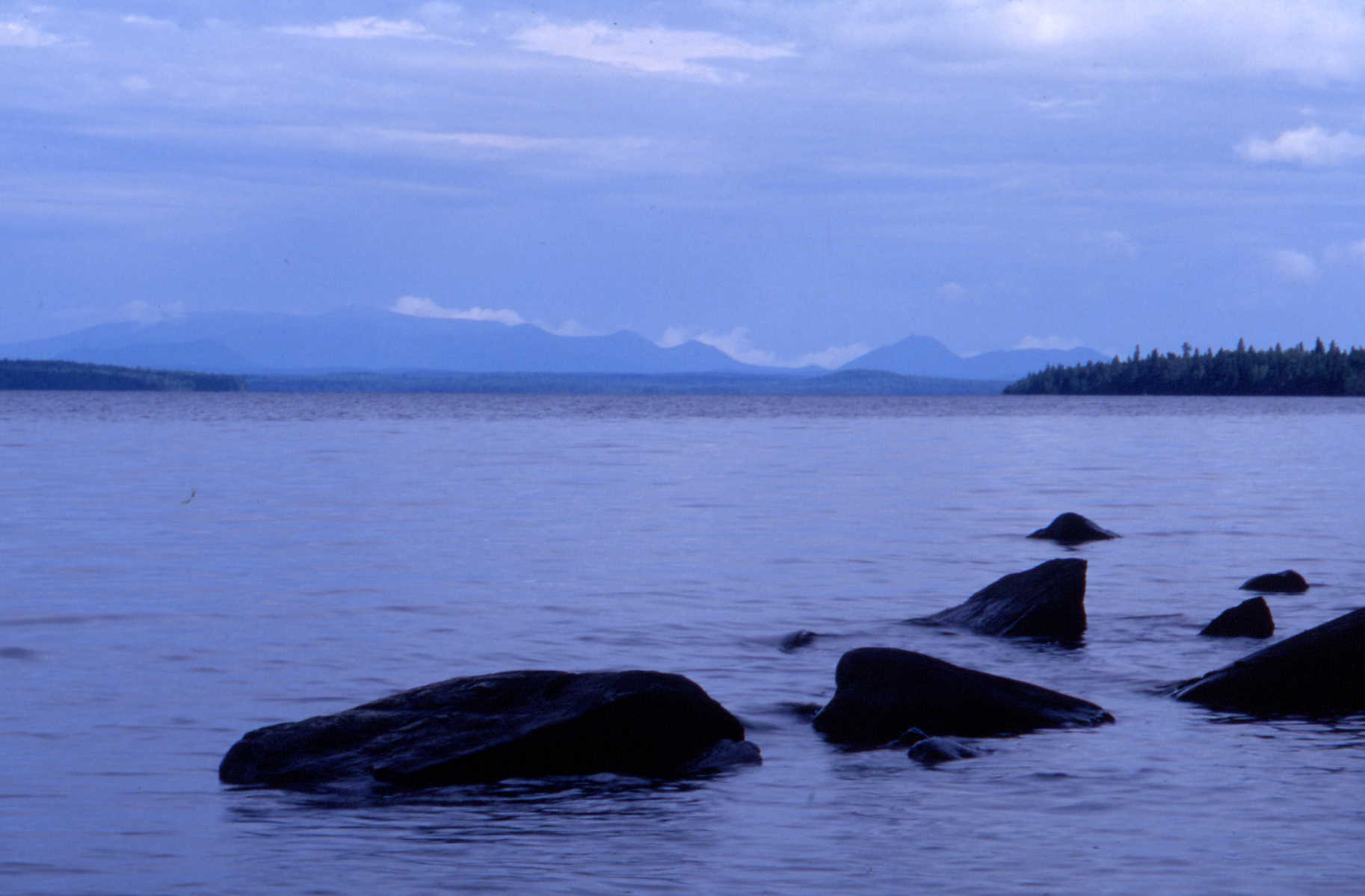
| From the top of Mt. Katahdin, you can see the Allagash Wilderness Waterway stretching northward as far as the eye can see. This remote and isolated river corridor is perhaps the most diverse of our northeastern waterways. Brooks and streams wind through swampy forests of conifers and between ridges of northern hardwoods as they make their way to numerous takes and ponds and eventually to the river that draws its life from them all. Swift currents freshen ledges of colorful volcanic rocks and wash dark gray slates containing fossils of organisms that lived hundreds of millions of years ago in warm tropical seas -- a far cry from a region that is, today, one of the coldest in the northeastern United States. Annual temperatures average less than forty degrees Fahrenheit and the daily winter temperature, twenty degrees Fahrenheit. And it is wet here, too. Close to forty inches of precipitation fall each year, part of which produces an average of ten feet of snow in winter. Because of these conditions, the Allagash is a place that exhibits a variety of habitats for a myriad of plant and animal species. But perhaps more importantly, it is a place where you can still capture the essence of the great north woods and experience the feeling of an earlier, more primitive time. |
![]()
![]()
![]()