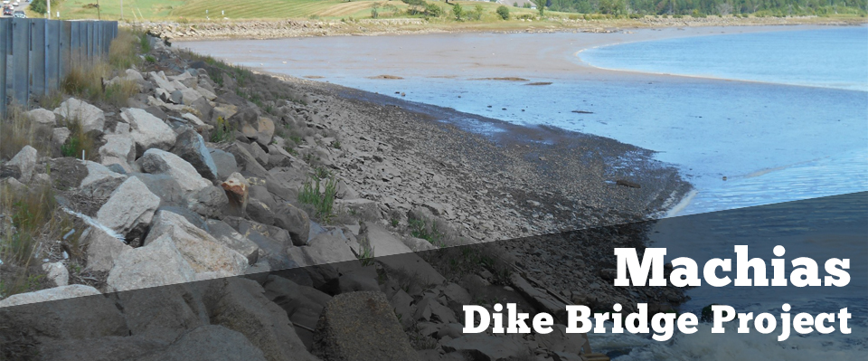
Machias Dike Bridge Project

Bridge #2246 carries Route 1 over the Middle River in the Town of Machias, Maine. The Middle River joins the tidal portion of the Machias River at/immediately downstream of the bridge. The existing bridge consists of four box culverts within an embankment structure (causeway). The culverts are constructed of timber and stone masonry and are approximately 130 feet long, 6 feet wide and 5 feet high. Each culvert has top‐hinged flap gate installed on its seaward side. The causeway is constructed of timber cribbing with rubble and earthen fill and is over 1,000 feet long.

The culverts and the flap gates are deteriorated. MaineDOT is studying options to rehabilitate or replace the bridge. Since this project is anticipated to use federal funding for implementation, MaineDOT must follow all applicable federal processes including the National Environmental Policy Act (NEPA).

Since the last Public Meeting in June 2022, MaineDOT has conducted additional field work including at the former municipal land fill, installed a temporary bridge on Route 1, continued participation in monthly Machias Bay Resiliency Projects Partners meetings, met several times annually with representatives from Marshfield and Machias and continued coordination with federal partners including the Federal Highway Administration (FHWA) and the National Oceanic and Atmospheric Administration (NOAA).

As of November 2024, MaineDOT plans to install a more durable, longer-term temporary bridge over the existing Dike Bridge on Route 1 in Machias. This new structure will assure safe and reliable mobility while MaineDOT works with local entities to determine long-term resiliency needs and assesses options to develop a permanent replacement of the existing structure, which carries Route 1 over the Middle River. The new temporary bridge will be designed to last between 15 and 20 years.

MaineDOT decided to install a long-term temporary bridge after the Federal Highway Administration (FHWA) notified MaineDOT that, based on input FHWA received from the National Marine Fisheries Service, an Environmental Impact Statement (EIS) would be the only practical path forward with MaineDOT’s preferred alternative of an in-kind replacement. Normally reserved for much larger and more complex projects, an EIS would involve several years of additional environmental consulting and analysis. Final design and construction of a replacement bridge could not begin until after that EIS is completed.

The current Dike Bridge dates to the Civil War era and is deteriorating. Late last year, MaineDOT installed a temporary bridge over the existing Dike Bridge after a routine inspection showed increasing voids within the structure. That temporary bridge will be removed before the new, longer-term temporary bridge is constructed. The new structure – estimated at about $2 million - will be paid for exclusively with state funds and constructed in a way that will not require federal permits or review. MaineDOT expects to completed construction of this new structure in 2025.

To provide the public with more up-to-date information, MaineDOT has created a Virtual Public Meeting Story Map for this Project. The Virtual Public Meeting Story Map provides up to date information and allows people to submit comments and questions electronically. While official NEPA documents must be released by federal agencies, in this case FHWA, this story map includes a Public and Agency Information Document and the Public and Agency Information Document Appendices that provide a detailed accounting of MaineDOT’s work to date on this project, as well as a letter from the MaineDOT Commissioner outlining the Department’s next steps to ensure safe and reliable transportation for the communities and the state.